Photo by Andy McLeod.
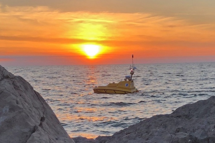
In June, UNH’s Center for Coastal and Ocean Mapping/Joint Hydrographic Center’s autonomous surface vehicle Bathymetric Explorer and Navigator — ASV BEN — traveled Lake Huron, where it mapped the lakebed of the Thunder Bay National Marine Sanctuary.
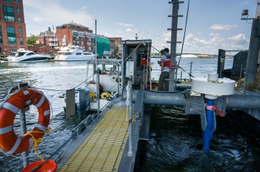
Operated autonomously from land, BEN is a proof-of-concept project that aims to “make it safe and practical to take robotics out to sea to do seafloor surveys and make nautical charts, without sending people to sea,” says CCOM research project engineer and ASV team leader Val Schmidt. On the bottom of the four-meter-long diesel-powered vessel is a sonar that scans the surface below it to create “beautiful maps of the lakebed,” says Schmidt.
Andy McLeod, CCOM/JHC research project manager, captured this image of BEN beneath the partial solar eclipse June 10 on his iPhone 8+. “The entire team got up at 4am to get BEN underway purely to provide the opportunity to get these beauty shots,” he says. “Of course we surveyed for the rest of the day with great success, too!
-
Written By:
Beth Potier | UNH Marketing | beth.potier@unh.edu | 2-1566