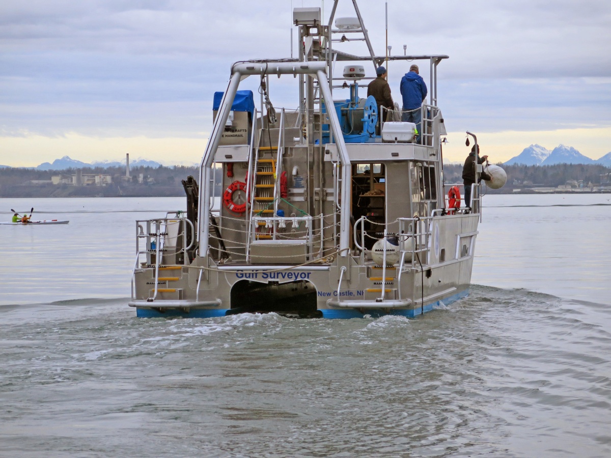
The R/V Gulf Surveyor is UNH's new, state-of-the-art research vessel that will help researchers map the coastal seafloor and better understand the ocean environment while providing training in the latest oceanographic practices. Photos courtesy of UNH Center for Coastal and Ocean Mapping/Joint Hydrographic Center.
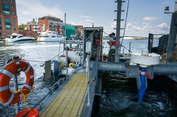
UNH has a new, state-of-the-art research vessel that will help researchers map the coastal seafloor and better understand the ocean environment while providing training in the latest oceanographic practices. The R/V Gulf Surveyor, a 48-foot aluminum vessel with a catamaran hull with the capability to deploy sophisticated multi-beam echosounders, is docked in New Castle at the pier adjacent to UNH’s Judd Gregg Marine Research Complex.
Built in Bellingham, Wash., by All American Marine, the Gulf Surveyor boasts twin engines and dual propellers, a crane for lifting heavy equipment, numerous computer workstations, and interior space with a sitting area, small kitchen and bathroom.
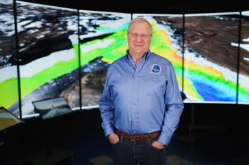
“We are thrilled with our new research vessel, which will allow us to safely and efficiently fulfill our mandate to develop new and innovative approaches to mapping the seafloor and water column as well as train the next generation of ocean mappers,” says Larry Mayer, director of UNH’s Center for Coastal and Ocean Mapping (CCOM) and director of UNH’s School of Marine Science and Ocean Engineering.
"Our new research vessel will allow us to safely and efficiently fulfill our mandate to develop new and innovative approaches to mapping the seafloor and water column as well as train the next generation of ocean mappers.”
The vessel is certified for 18 passengers. This summer, many of those have been students who come from around the globe to learn the latest ocean mapping techniques from UNH. The $2.4 million vessel was funded by a grant from the National Oceanic and Atmospheric Administration (NOAA), UNH’s cooperative partner in the Joint Hydrographic Center (JHC), which Mayer co-directs.
With its catamaran hull and powerful engines making it faster and nimbler than UNH’s older research vessels, the Coastal Surveyor and the Cocheco, the Gulf Surveyor’s primary task will be mapping the sea floor and water column, a conceptual “column” of water from the seafloor to the surface, using multibeam echosounders and other innovative mapping tools.
Much like a bat’s echolocation, the multibeam echosounder sends a fan-shaped swath of sound to points on the ocean floor then measures the time it takes to bounce, or echo, back. The resulting high-resolution maps are badly needed: Mayer and other oceanographers note that just 11 percent of the world’s seafloor has been topographically imaged in any detail.

Since its arrival in New Castle in May, the Gulf Surveyor has worked steadily in the Portsmouth Harbor, training future hydrographers in CCOM/JHC’s annual hydrographic field course and exploring the seafloor, water column and advanced capacities of this new vessel.
-
Written By:
Beth Potier | UNH Marketing | beth.potier@unh.edu | 2-1566