Doctoral Student Using Technology to Form Clearer Coastal Mapping Picture
Melanie Carolan is researching something of a moving target.
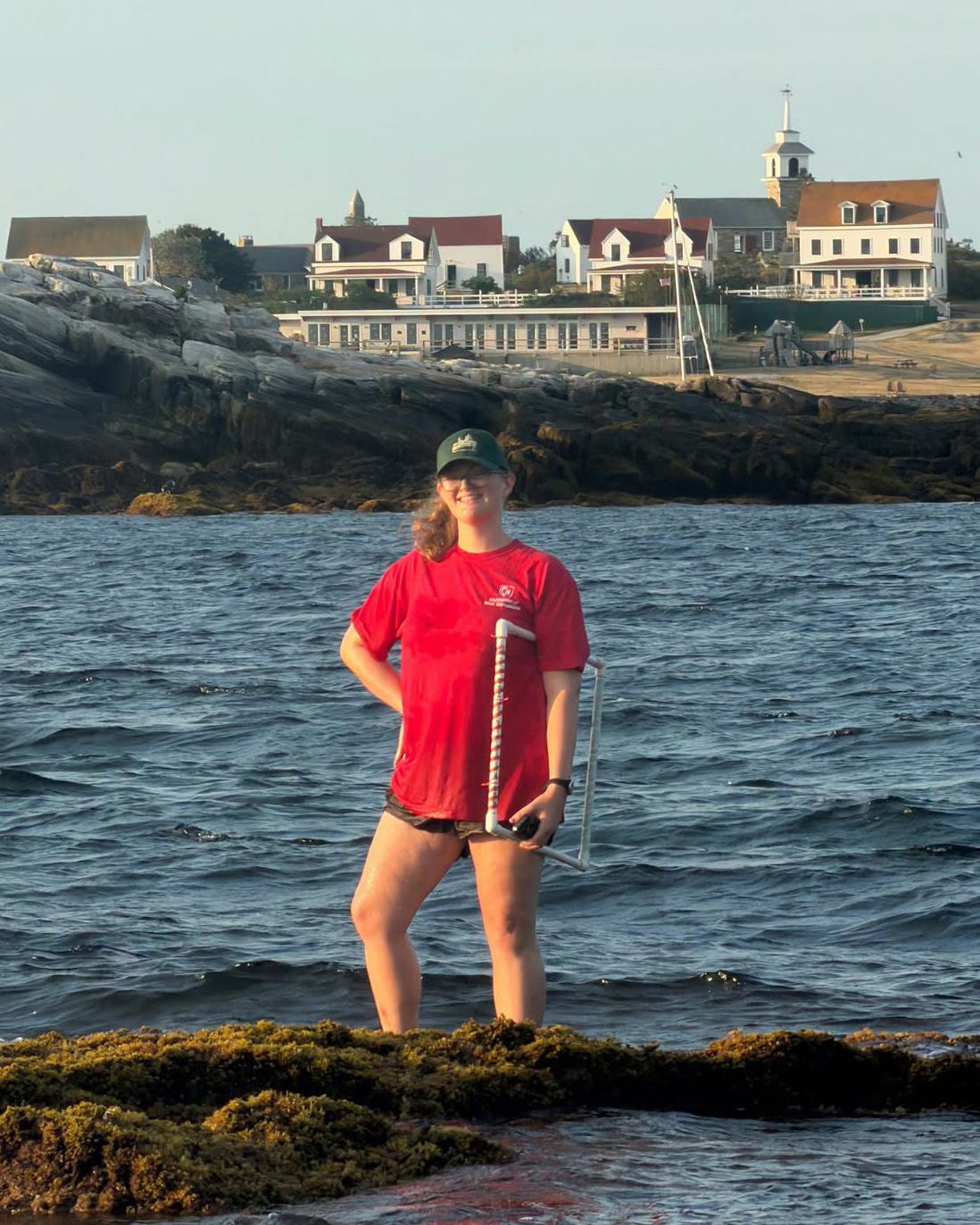
Carolan, a doctoral student in natural resources and Earth systems science, is studying the New Hampshire and Maine coast from above the waterline in an attempt to accurately map a coastline that doesn’t necessarily look the same from one day to the next.
The nearshore waters she studies present unique challenges, making them particularly difficult to map: Tides shift the shoreline, navigation hazards make boat surveys risky, and the habitats themselves are easily disturbed.
But Carolan is working with Jennifer Dijkstra, research assistant professor, and a broader research team to use technology to overcome some of those challenges. Her research utilizes a combination of several remote sensing systems, including aerial drones that map seaweeds and boating hazards, to fill in the mapping picture. Better nearshore data means better information for coastal navigation, construction and conservation
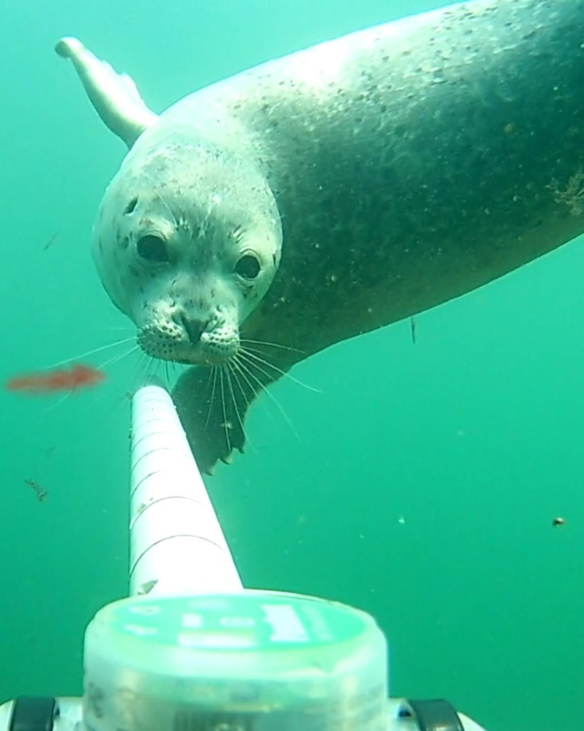
In her previous work, Carolan used remote underwater video systems to track where fish, crabs and lobsters live and move, addressing gaps in fishery-independent monitoring data as species distributions shift.
"The coolest aspect is that it's a highly visual form of research," Carolan says. "I get to see seals swimming, fish schooling and birds diving while analyzing the footage."
Carolan’s research has been funded by a National Oceanic and Atmospheric Administration (NOAA) award to UNH, with additional support from New Hampshire Sea Grant Development Funds.