


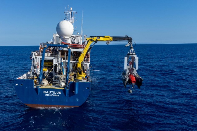
Photo by Ocean Exploration Trust.
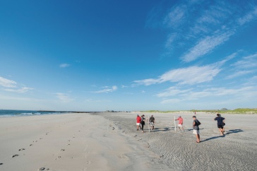
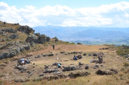
To the northwest of Hawai’i lies a chain of tiny rugged islands, massive underwater seamounts and steep escarpments that few humans in the modern era have explored. These geographic features are part of one of the world’s largest marine protected areas, but most of their details have remained unmapped — until now.
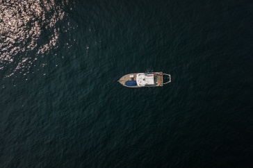
Twelve scientists and students associated with UNH’s Center for Coastal and Ocean Mapping (CCOM) are aboard the Exploration Vessel (E/V) Nautilus as part of a 23-day seafloor mapping expedition in the Papahānaumokuākea Marine National Monument (PMNM), the largest marine protected area under U.S. jurisdiction. The results from this mission will help scientists to better understand the natural and cultural resources of the PMNM, while also contributing to the SeaBed 2030 goal of mapping the world’s seafloor by the year 2030.
"This is a tremendous example of the broad reach of CCOM and its global influence on the ocean mapping world."
The team from UNH comprises nearly half the scientific crew aboard the E/V Nautilus for this expedition — a noteworthy accomplishment not lost on Larry Mayer, CCOM’s director and lead scientist for the expedition along with Andy Armstrong, co-director for the UNH Joint Hydrographic Center.
“It is remarkable to have a Nautilus cruise with 12 people associated with a single institution,” Mayer says. “This is a tremendous example of the broad reach of CCOM and its global influence on the ocean mapping world.”
Mayer notes that those 12 include UNH alums who are employees of the Ocean Exploration Trust; graduate students who are serving as seafloor mappers; GEBCO students working as mapping interns; two NOAA employees who work at UNH; and a core team of full-time UNH employees who are running DriX, a 7.7-meter autonomous surface vessel used to map areas where the Nautilus can’t access and increase the efficiency of mapping when used in tandem with the Nautilus. Students and scientists are working side by side on the ship, taking round-the-clock shifts to expertly collect dual-technology echosounder data from both the Nautilus and DriX.
This expedition is funded by NOAA Ocean Exploration via the Ocean Exploration Cooperative Institute — of which UNH is a member — and the NOAA Office of Coast Survey via the UNH Joint Hydrographic Center.
The UNH Institute for the Study of Earth, Oceans, and Space (EOS) is UNH's largest research enterprise, comprising six centers with a focus on interdisciplinary, high-impact research on Earth and climate systems, space science, the marine environment, seafloor mapping and environmental acoustics. With approximately 100 principal investigators managing more than 400 individual grant awards, and with annual expenditures exceeding $45 million, EOS fosters an intellectual and scientific environment that advances visionary scholarship and leadership in world-class and graduate education.
-
Written By:
Rebecca Irelan | Institute for the Study of Earth, Oceans, and Space | rebecca.irelan@unh.edu | 603-862-0990