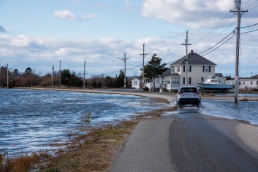


If you’re looking for the location of sidewalk ramps to assess a town’s handicap accessibility, or you want to find the access sites to public waters, you’ll need a good set of maps. Now, a new website hosted by UNH provides geographic data like this in a format that is easier than ever to find and use.
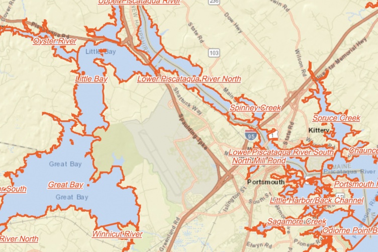
The New Hampshire Geodata Portal, hosted by New Hampshire Geographically Referenced Analysis and Information Transfer System (NH GRANIT), provides a more modernized data distribution system than its previous version. With data ranging from public lands and topographic lines, to the pavement condition of roads and location of eelgrass meadows in Great Bay, the website will be a boon for a wide cross-section of humanity; surveyors, foresters, real estate agents, engineering companies, utility companies, and state natural resource and transportation agencies will find beneficial information in an easier-to-access format. Data holdings from partner organizations, like New Hampshire Fish and Game and the New Hampshire Department of Environmental Services, will also be available through the Geodata Portal, providing a robust set of online maps.
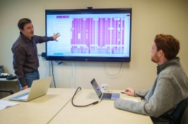
“This new portal is a one-stop shop to find all the geographic data information you need,” says David Justice ’84 ‘89G, the director for NH GRANIT. “We made changes based on feedback from the website users, who needed an easier method of searching for the data and didn’t want to download all if it before viewing it — they can now interact with the data immediately without that long wait.”
The original NH GRANIT website typically attracts about 900 visits per day. Justice hopes the new Geodata Portal will bring in additional audiences, perhaps more people from the general public, who want a more streamlined experience while searching for the information they need.
The Nashua Regional Planning Commission was a critical partner in this website project and helped to ensure the searchable geodata holdings from all nine of New Hampshire's regional planning commissions were included in the portal, he adds.
The UNH Institute for the Study of Earth, Oceans, and Space (EOS) is UNH's largest research enterprise, comprising six centers with a focus on interdisciplinary, high-impact research on Earth and climate systems, space science, the marine environment, seafloor mapping and environmental acoustics. With approximately 100 principal investigators managing more than 400 individual grant awards, and with annual expenditures exceeding $45 million, EOS fosters an intellectual and scientific environment that advances visionary scholarship and leadership in world-class and graduate education.
-
Written By:
Rebecca Irelan | Institute for the Study of Earth, Oceans, and Space | rebecca.irelan@unh.edu | 603-862-0990